


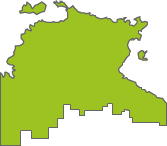


Australian Capital Territory
Canberra & Southern Tablelands
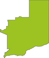
New South Wales
Canberra & Southern Tablelands
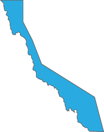
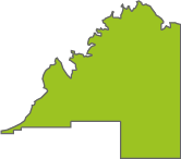
Bega Local Aboriginal Land Council property, surveyed during the Wallagoot Catchment Bioblitz, 4-5 December 2015.
Collection sites were on and around the LALC properties on the Wallagoot Catchment. The outlined areas are an approximate outline of the Bega LALC properties surveyed, not a formal boundary.